Partial store closure while we reorganize. Map and Guidebook still available. Thanks for your patience! Dismiss
Fork Mountain Trail (S5) – (S6)
Eastatoe Gorge Spur (S3) – (S4)
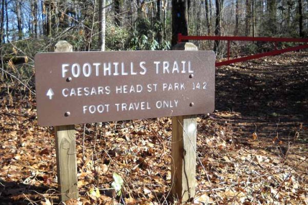
Sassafras Mountain (S1) to Caesar’s Head State Park (S2)
Jumping Branch Trailhead (A13) to Oconee State Park (A14)
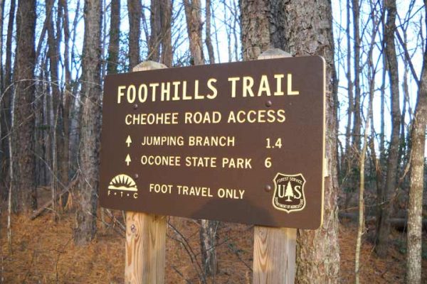
Choehee Road (A12) to Jumping Branch Trailhead (A13)
Burrell’s Ford Road (A11) to Cheohee Road (A12)
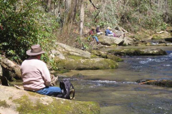
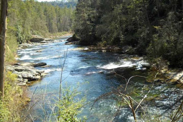
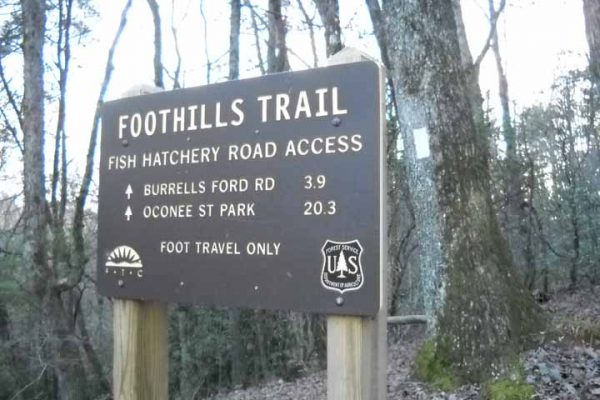
Fish Hatchery Road (A10) to Burrell’s Ford Road (A11)
Sloan Bridge (A9) to Fish Hatchery Road (A10)
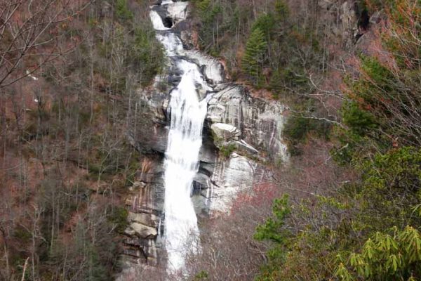
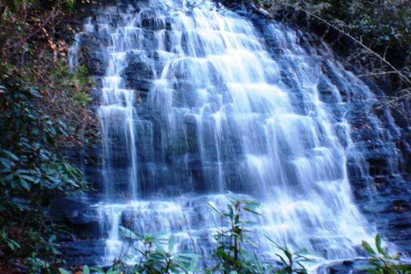
Upper Whitewater Falls (A8) to Sloan Bridge (A9)
Bad Creek Access (A7) to Upper Whitewater Falls (A8)
Canebrake (A6) to Bad Creek Access (A7)
Laurel Fork Falls (A5) to Canebrake (A6)
Laurel Valley (A4) to Laurel Fork Falls (A5)
Chimneytop Gap (A3) to Laurel Valley (A4)
Sassafras Mountain (A2) to Chimneytop Gap (A3)
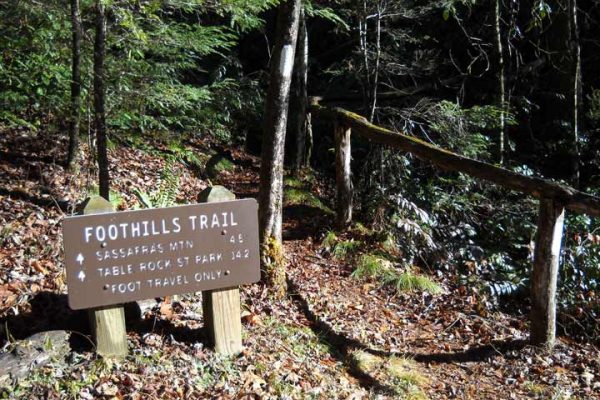
Table Rock State Park (A1) To Sassafras Mountain (A2)