Trail Map
$18.00
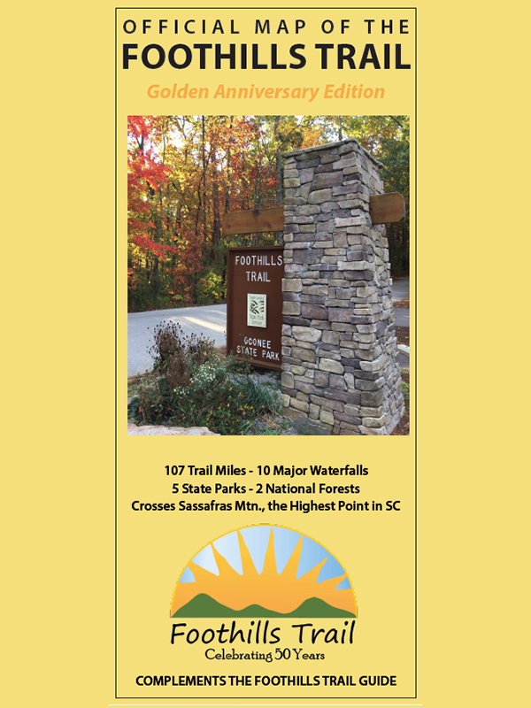
The perfect companion to the Foothills Trail Guidebook. This topo-style, double-sided map gives the big picture of the Trail, and includes trailhead access maps with point-to-point distances, elevation maps, and designated campsite information. Side panels provide emergency information and contact information for other state and national agencies. State park and national forest boundaries are shown along with the the Jocassee Wildlife Management Area (SC) and the new Headwaters State Forest (NC).