A member of the Foothills Trail Conservancy Board and two members of the SC Department of Natural Resources have collaborated to produce a fabulous, full-color guidebook on the geology along the Foothills Trail. Bill Ranson, a retired Furman University Professor of Geology, Robby Morrow, a geologist with SCDNR, and Tanner Arrington, a DNR GIS specialist, have spent more than a year hiking, studying, analyzing, and photographing all aspects of geology along the entire Trail.
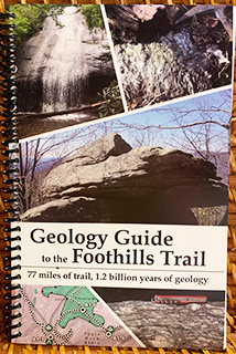
The geology along the Foothills Trail crosses through nearly 1.2 billion years of Earth’s history. This full-color book will guide you through the geology of the Foothills Trail from start to finish. Geologic maps for the entire Trail show you the rock types you are hiking over, and where you can see interesting rock outcrops that help geologists understand the geologic history of the region. The text follows the trail sections found in the FTC Guidebook, and It is spiral-bound for easy page copying. The 125-page guide has full-color photographs, diagrams, and maps.